An exciting regional collaboration between 10 Waikato councils and non-council stakeholders is about to take off.
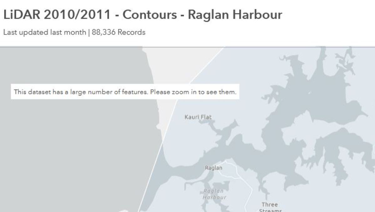
The latest LiDAR (Light Detection and Ranging) technology is being used to collect earth surface data to create highly detailed 3D maps and models of the landscape. The data enables better management of natural hazards, such as flooding, erosion and sea level rise. It provides farm-scale land information to benefit the agriculture and forestry sectors as well as being used for many other planning purposes. It is also widely used for development, engineering, architecture and design applications by the private sector.
Flying to gather the data commences in mid-December 2020 and is expected to be finished by May 2021. After intensive quality control, it is expected that the processed data set will be freely available to the public in 2022.
Waikato Local Authority Shared Services (WLASS), on behalf of the 10 councils, has secured funding of $1.4 million from the Provincial Growth Fund (PGF) and approximately $133,000 third party funding for the region. WLASS will be running the project which is part of a national LiDAR programme coordinated by Land Information New Zealand (LINZ).

The councils involved in the initiative are Waikato Regional Council and Hauraki, Matamata-Piako, Ōtorohanga,South Waikato, Taupō, Thames-Coromandel, Waikato, Waipā and Waitomo district councils.
Hamilton City Council has already recently acquired LiDAR data for the city. This will be joined with the new data to provide a contiguous regional data set of over 25,000km2.
WLASS Chief Executive Kelvin French says it is fantastic the councils have contributed funding to support the project. He is also grateful for the contributions from the following organisations who are co-funding the initiative: WEL Networks, Environmental Research Institute, EQC – Earthquake Commission, Waikato River Clean Up Trust, Lincoln Agritech and Mercury NZ Ltd.
LiDAR provides precise laser measurements of the earth’s surface with the data used to create highly accurate 3D maps of the land.
The LiDAR contract survey is being carried out by Australian company iXblue Pty Limited. iXblue will partner with Mainland Air and US company Woolpert (leading experts in this industry) to deliver the LiDAR products and services.
In 2019 the PGF, via LINZ, awarded co-funding to the Waikato and seven other regions (Bay of Plenty, Hawke’s Bay, Tasman, Marlborough, Canterbury, West Coast and Southland) to obtain LiDAR data as the first tranche of an initiative to increase New Zealand’s total LiDAR coverage to approximately 80 per cent – up from 10 per cent currently.
More information about the LINZ national elevation programme, including the PGF LiDAR project and access to the data, can be found at www.linz.govt.nz/data/linz-data/elevation-data.

