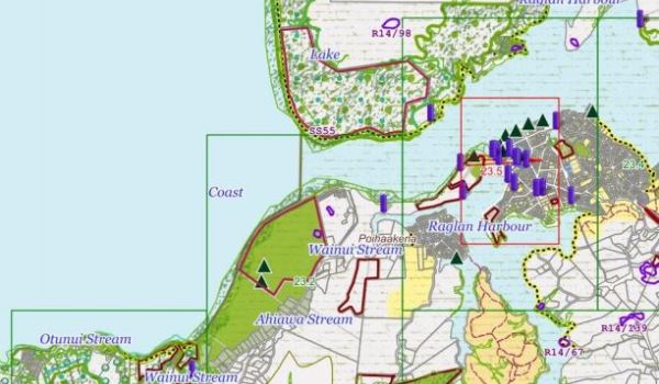
Raglanites have recently received notification from Waikato District Council about the proposed District Plan. Raglanites who checked their property on the planning maps have discovered that the council planners have flagged many Raglan properties as ‘Coastal Environment’. This large area of land is adjacent to the coast and covers multiple zones and seems to cover even the urban areas of Raglan township, kilometres away from the harbour.
A check of the detailed rules shows that this new restriction means:
- The policy layer applies to earthworks rules and some building rules but only where the land also within ‘high or outstanding’ natural character areas. Any building in any of these areas (except for the Maaori Freehold Land Rules) will require resource consent.
- The term coastal environment is also used in the vegetation clearance rules. The clearance of manuka and kanuka for firewood is not provided for as a permitted activity in in the coastal environment.
So landowners in this ‘policy area’ will face additional costs for building work as they will now need to hire a consultant to prepare a resource consent application and then pay WDC for another consultant to process the application.
And no cutting down the odd manuka for your fire to keep warm.
Raglanites have until 5pm Tuesday 9 October, 2018 to make a submission on the proposed plan.
