


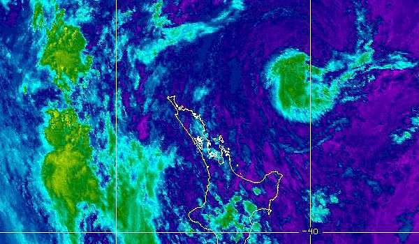
NOAA Satellite map at 9.00am on 27th. Navy blue is cloud free, warm surface temperatures.Cyan is weak, warm cloud tops, low altitude. Brown is intense, cold cloud tops, high altitude.
Subtropical heat has sparked a severe thunderstorm watch for Raglan and much of the North Island. Raglan Weather reported relative humidity at 83% at 9.00am with the temperature at 23 degrees C and climbing.
The MetService marine forecast says that there will be poor visibility in showers, with some heavy and possibly thundery falls north of Tirua Point, (south of Kawhia Harbour) this afternoon and evening.
The rain forecast shows heavy a heavy downpour timed for 4pm to 10pm.
Driving conditions will also be hazardous with surface flooding and poor visibility in heavy rain, warns MetService.
“A combination of humid subtropical air, and afternoon and early evening wind convergences, are likely to trigger heavy showers and thunderstorms about the central North Island and parts of Northland during Wednesday,” the watch said.
“These are forecast from Waitomo and southwestern Waikato, across to Taupo, Taihape and the Hawke’s Bay ranges.”
The Metservice watch covers Waikato, Waitomo, Taumarunui, Taupo, Hawke’s Bay, Taihape and Northland.