

On the 28th December 1642, Abel Tasman put the Whaanga Coast, south of Raglan, on a map for the first time. Tasman wrote in his journal, “At noon saw a high mountain east by north of us.” (This was Mt Karioi.)
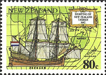
“First took it to be an island, but afterwards saw that it was an extended coast. We were about four miles from shore, took soundings . . . This mountain is in 38 degrees southern latitude. This coast extends as far as I can see south and north.”
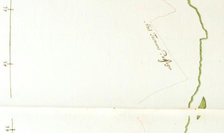
Source: Raglan Museum
What a history of Abel Tasman with ship ZEELAN near Whaanga coast Sth of Raglan.
About 1850 Dr. Harsant of UK was the first megistrate, doctor etc etc.
please display the history sign at the site with Maori history.
God bless you all.